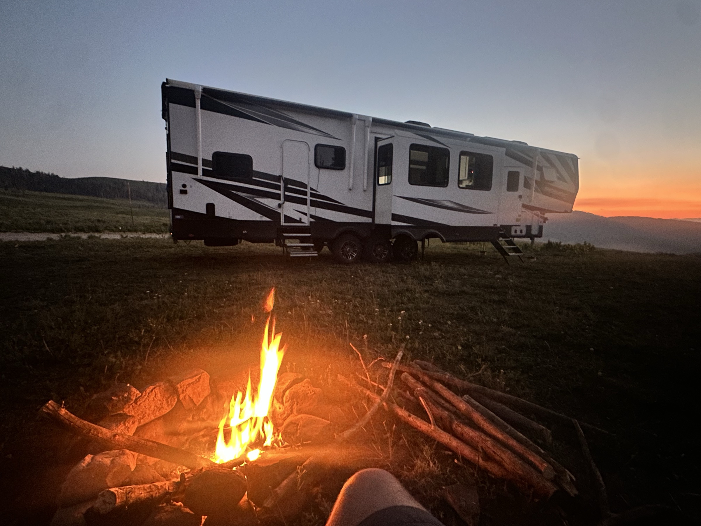
Free camping that actually fits your rig.
WildRoute uses AI to find dispersed camping on BLM and National Forest land — matched to your RV size, road tolerance, and the conditions on the ground today.
Find camping that actually fits your rig.
- Length and height matched to MVUM-allowed vehicles
- Road surface, grade, and reported clearance
- Full-hookup, boondock, or anywhere in between
See the ground before you drive in.
- Recent Sentinel-2 imagery, auto-fetched for every spot
- AI-analyzed access quality, clearance, and camp surface
- Flags seasonal snow, floods, and recent fire scars
Roads you can actually trust.
- Official MVUM classifications baked in
- Bridge clearance + weight filtering
- Seasonal closures and gate status where available
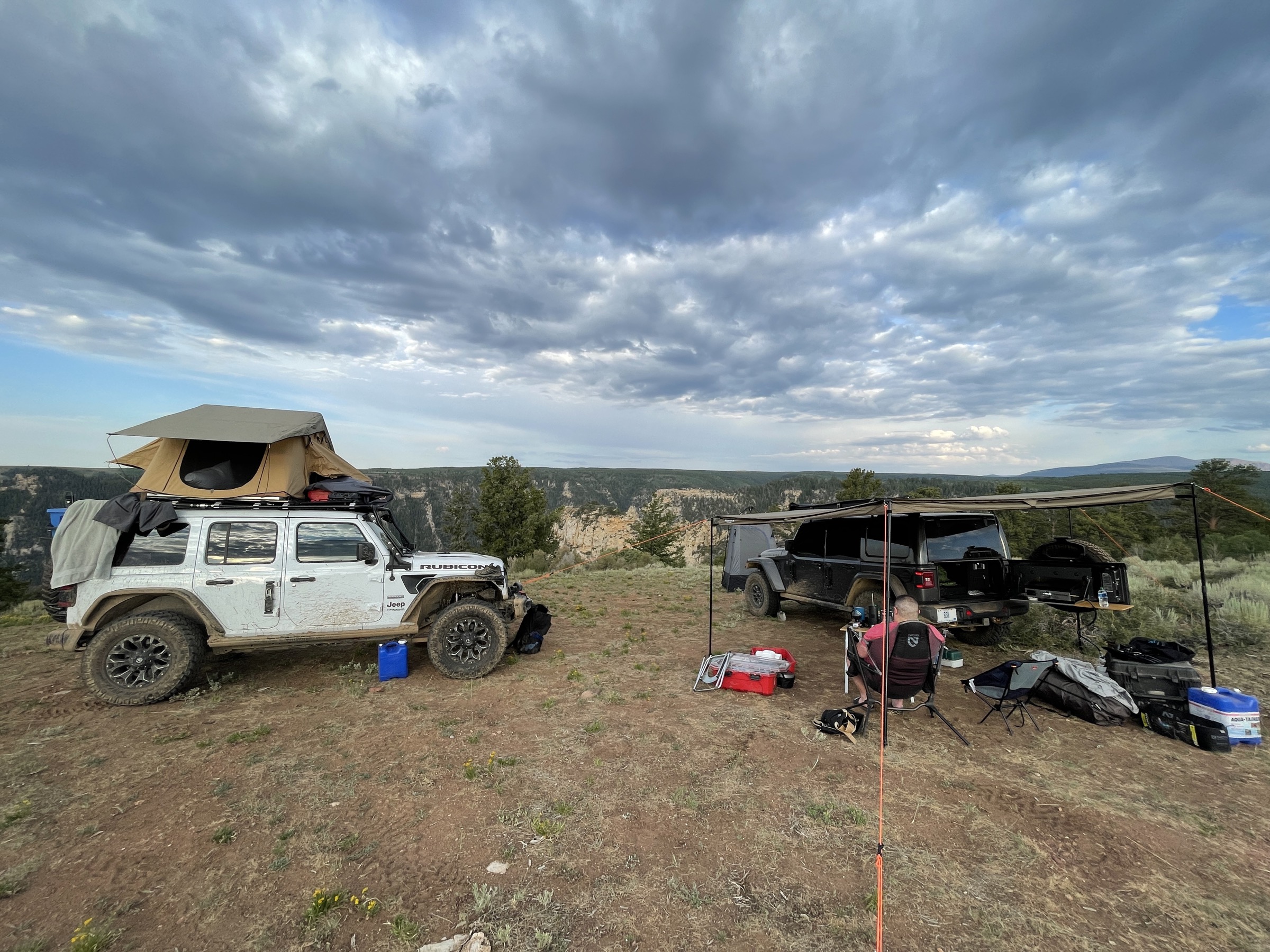
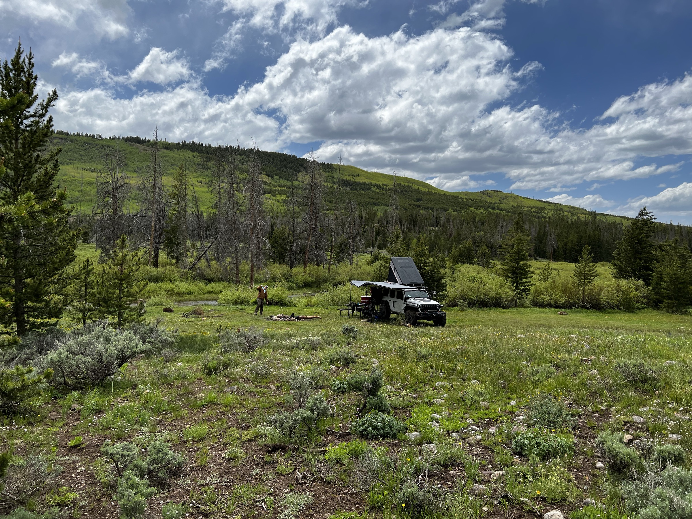
Built for how people actually camp.
Maps, forecasts, satellite imagery, and rig-aware planning — stitched together so you can stop juggling six apps and a paper forest service map.
Verified Spots
Community-contributed campsites with recent photos, road conditions, and real-world rig reports — vetted before they're shared.
Weather Forecasts
NWS forecasts and active alerts for every candidate spot, so you know what you're driving into before you commit.
Offline Maps
Download tiles and your trip bundle before you leave cell coverage. Access campsites, MVUM roads, and exit routes without a signal.
Trip Planning
Multi-day routes that respect rig height, bridge clearance, road width, and closures — plus fuel, dump, and grocery stops along the way.
Spot Check
Satellite imagery plus AI vision analysis of the actual ground: tree cover, terrain, turn-around space, recent snow, and access quality.
Safety Services
Nearest ranger stations, hospitals, urgent care, and fuel — surfaced automatically for every campsite you consider.
Start free. Upgrade when you need more.
Create an account and start searching at no cost. Explorer and Pioneer add satellite vision, 3D terrain, and unlimited trips and rig profiles when you're ready.
Explorer
$9.99/mo- AI-powered campsite search
- Route planning with rig filtering
- Safety services locator
- Offline maps
- Up to 10 trips
- 3 rig profiles
Pioneer
$19.99/mo- Everything in Explorer
- 3D terrain maps
- Satellite imagery + AI vision analysis
- Unlimited trips & rig profiles
- Real-time road conditions
- Priority support
Your next trip doesn't belong to a paved-in campground.
Create an account and start finding dispersed camping that fits your rig — on BLM and National Forest land across the West.